Welcome to GEP
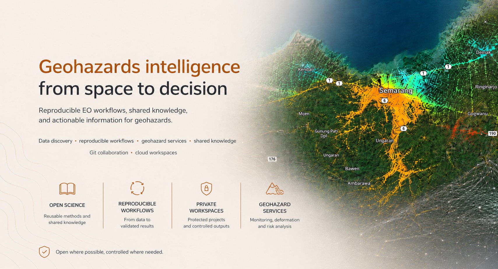
Welcome to the Geohazards Exploitation Platform (GEP) a cloud-based environment supporting Earth Observation workflows for geohazard monitoring, terrain motion analysis, critical infrastructure assessment, and disaster risk reduction.
Our mission is to help the geohazards community turn satellite Earth Observation data into reproducible workflows, shared knowledge, and actionable information .
GEP brings together data discovery, processing services, notebooks, Application Packages, Git-based collaboration, cloud-hosted workspaces, thematic applications, and community knowledge. It supports users who need to discover data, run processing services, compare methods, document results, publish selected outputs, or collaborate around geohazard science and applications.
The platform encourages open science practices and knowledge sharing, while preserving private workspaces, subscription activities, and controlled-access service outputs.
What you can do in GEP
Use GEP to:
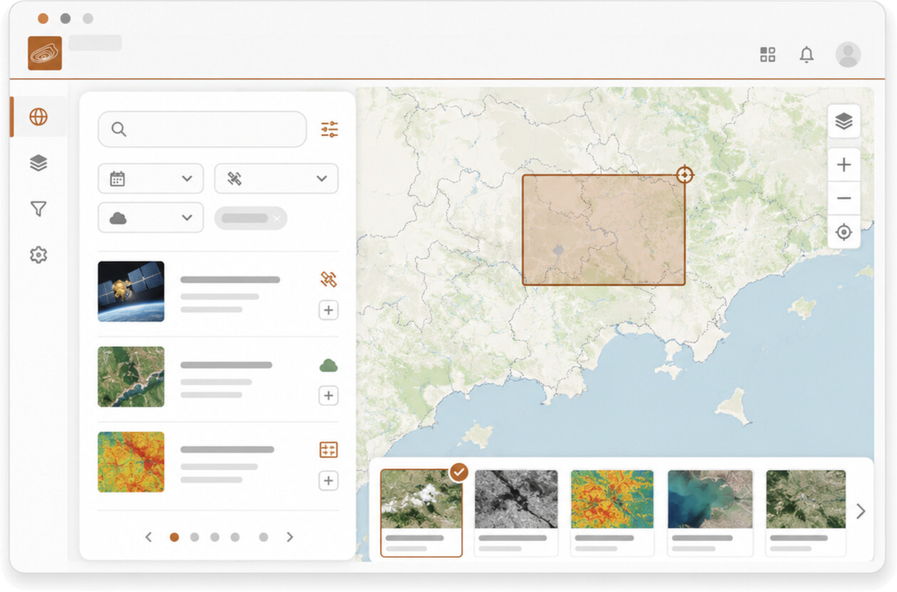
- discover Earth Observation data, information layers, shared products, and thematic resources;
- access geohazard-focused processing services;
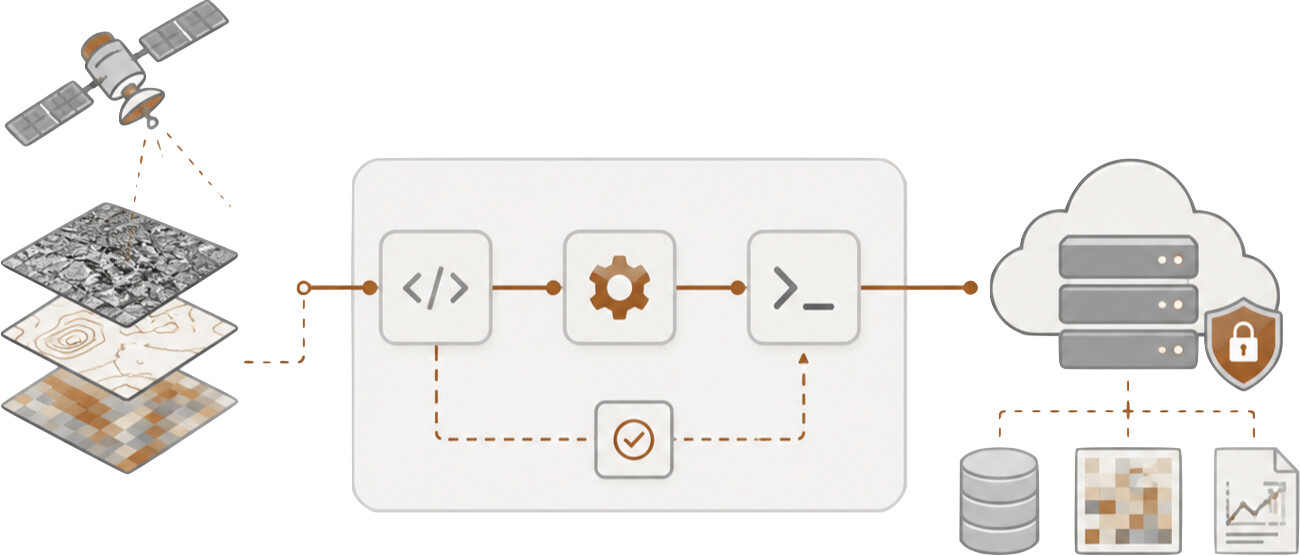
- run systematic or on-demand processing workflows;
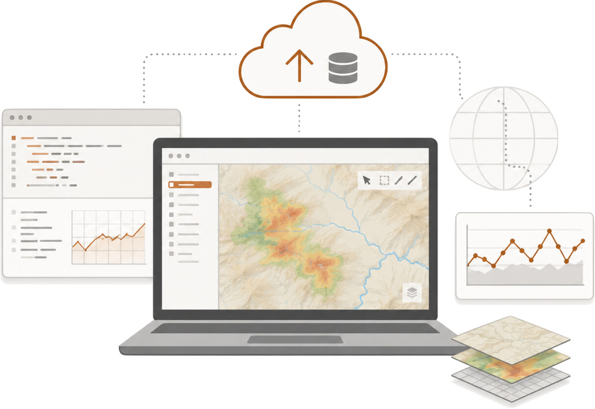
- work with notebooks, Application Packages, Git repositories, and cloud-hosted workspaces;
- analyse SAR and optical data products;
- document and reproduce processing workflows;
- follow platform updates, service releases, and operational announcements;
- share selected results, use cases, publications, lessons learned, and workflows;
- collaborate with users, researchers, analysts, service providers, institutions, and operational stakeholders.
Main entry points
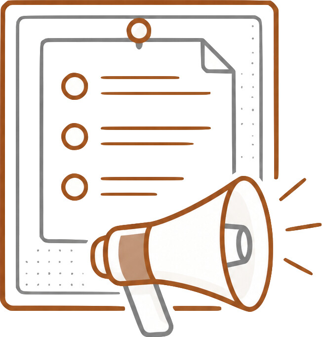 Announcements & Releases
Official communications about GEP, including service updates, new features, maintenance notices, onboarding opportunities, and operational announcements.
Use this area to stay informed about changes that may affect your use of GEP services, applications, and tools.
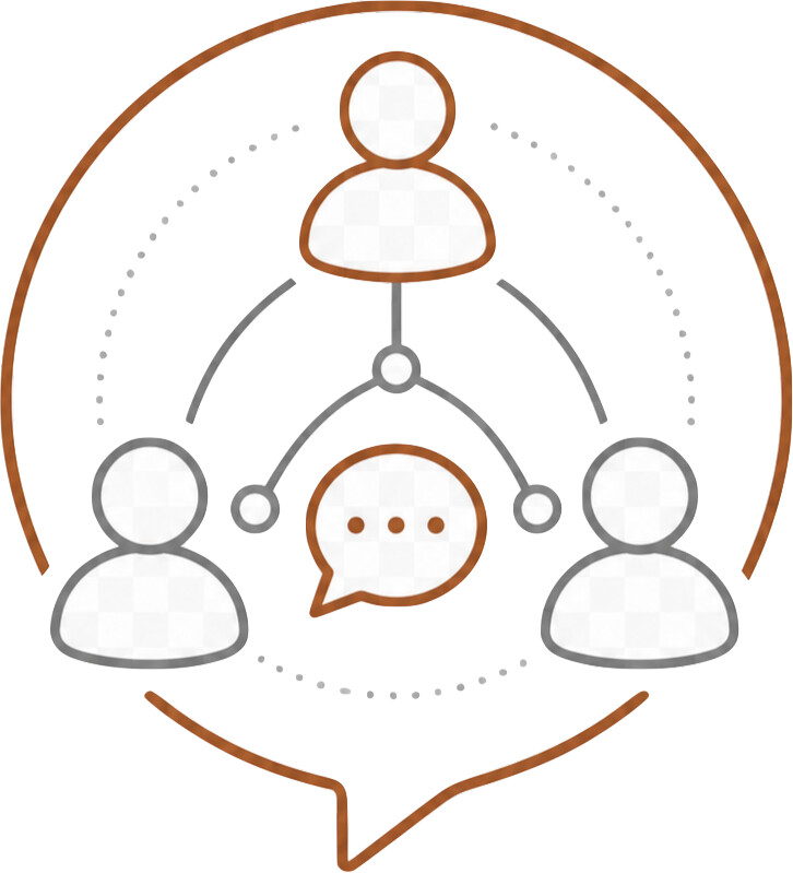 Community
Knowledge sharing, collaboration, training, project highlights, publications, and broader ecosystem engagement. Use this area for:
- Sharing publications and research outputs
- Presenting use cases and results
- Publishing selected workflows, notebooks, or examples;
- Announcing training activities or workshops
- Discussing collaboration opportunities
- Sharing lessons learned
- Connecting with other GEP users and stakeholders
Open Science does not mean that all user outputs are public by default. Private workspaces, subscription activities, commercial service outputs, and controlled-access data remain protected. Users and project teams decide what can be shared, published, or reused by the wider community.
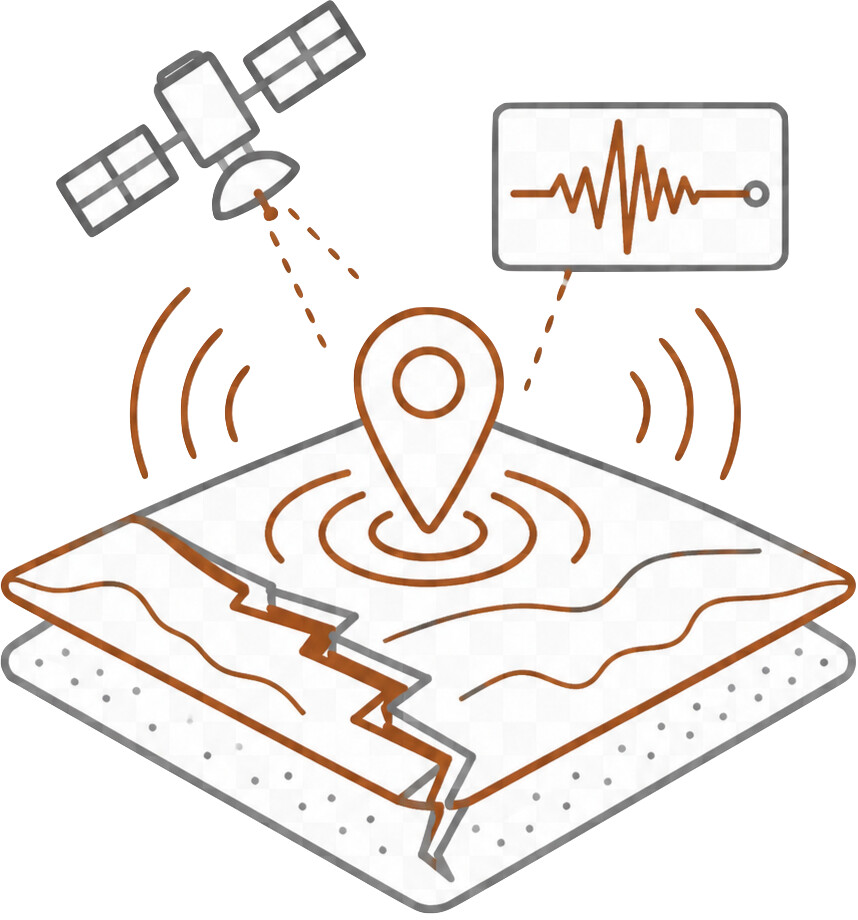 Earthquakes
Earthquake-related Earth Observation applications supported by GEP, including coseismic deformation mapping, interferometric analysis, damage proxy products, event response, and post-event assessment.
Use this area for:
- earthquake-related ground deformation analysis;
- DInSAR, interferogram, coherence, and displacement mapping workflows;
- post-earthquake EO analysis and rapid response products;
- interpretation of coseismic displacement and surface-change indicators;
- sharing earthquake-related datasets, results, publications, and use cases.
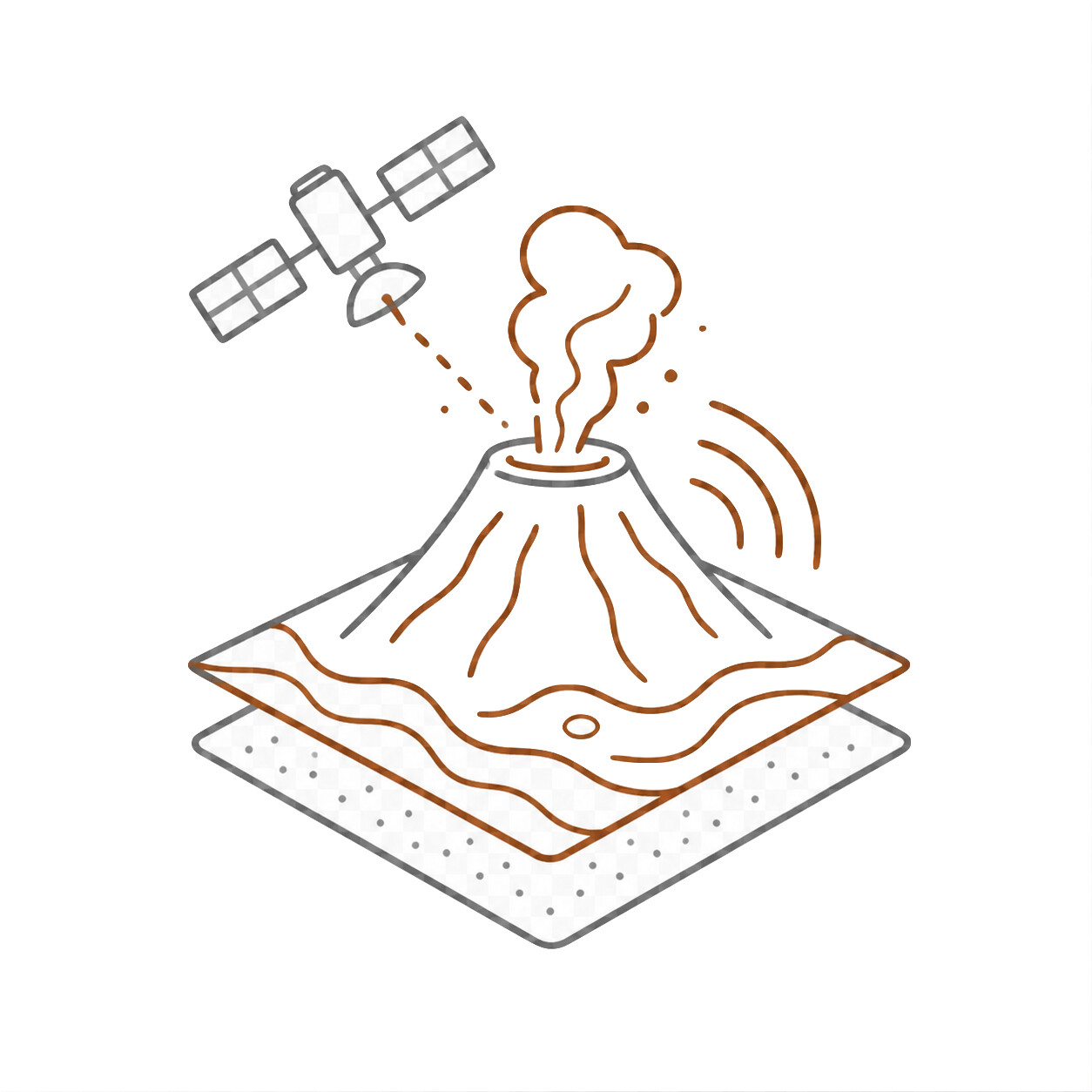 Volcanoes
Volcano-related Earth Observation applications supported by GEP, including volcanic deformation monitoring, thermal anomaly detection, vegetation stress analysis, event response, and long-term observation of volcanic areas.
Use this area for:
- volcano monitoring and analysis;
- thermal signatures, thermal anomalies, and vegetation-vigour products;
- ground deformation analysis over volcanic areas;
- event response and post-event analysis related to volcanic activity;
- sharing volcano-related datasets, results, publications, and use cases.
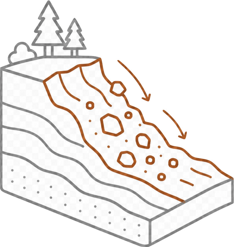 Landslides
Landslide-related Earth Observation applications supported by GEP, including landslide detection, mapping, monitoring, susceptibility analysis, and post-event assessment.
Use this area for:
- landslide detection and mapping;
- monitoring unstable slopes and landslide-prone areas;
- post-event landslide analysis after rainfall, earthquakes, or other triggering events;
- interpretation of EO-based landslide products and deformation indicators;
- sharing landslide-related datasets, results, publications, and use cases.
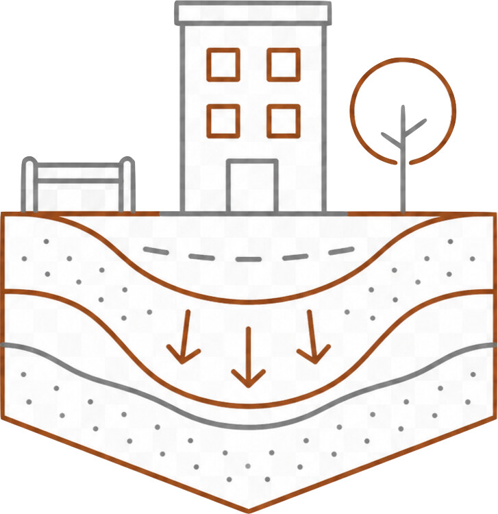 Subsidence
Subsidence-related Earth Observation applications supported by GEP, including long-term ground deformation monitoring, urban subsidence analysis, infrastructure stability assessment, and interpretation of displacement time series.
Use this area for:
- urban or regional subsidence monitoring;
- infrastructure stability assessment using EO-based displacement products;
- Persistent Scatterer, SBAS, and other time-series deformation analysis;
- interpretation of subsidence trends, hotspots, and risk indicators;
- sharing subsidence-related datasets, results, publications, and use cases.
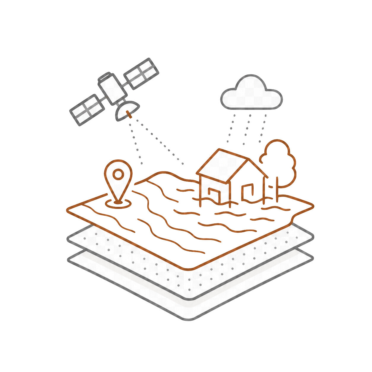 Floods
Flood-related Earth Observation applications supported by GEP, including flood extent mapping, impact assessment, exposure analysis, and post-event monitoring.
Use this area for:
- flood extent and impact mapping;
- flood event analysis and post-event monitoring;
- interpretation of EO-based flood products;
- sharing flood-related datasets, results, publications, and use cases.
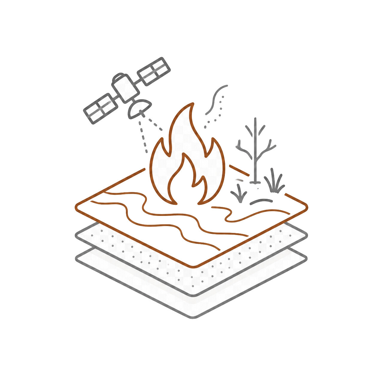 Wildfires
Wildfire-related Earth Observation applications supported by GEP, including fire danger monitoring, active fire and hotspot detection, burned area mapping, burn severity analysis, and post-fire vegetation recovery.
Use this area for:
- wildfire monitoring and event analysis;
- active fire and hotspot products;
- burned area and severity mapping;
- vegetation recovery and post-fire monitoring;
- sharing wildfire-related datasets, results, publications, and use cases.
Critical Infrastructure
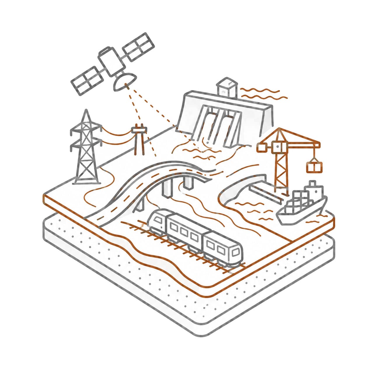 Critical Infrastructure
Earth Observation applications for monitoring critical infrastructure and exposed assets using GEP services, including terrain motion analysis, deformation monitoring, risk indicators, and post-event assessment.
Use this area for:
- monitoring power lines, transport corridors, bridges, roads, dams, pipelines, ports, industrial sites, and urban assets;
- analysing terrain motion and deformation affecting infrastructure;
- sharing infrastructure-related workflows, indicators, products, and use cases.
Before asking for support
To help the GEP team and other users understand your request, please include enough context when asking a question.
For processing or service-related questions, include:
- the service or thematic application you are using;
- the input dataset, mission, or product type, if relevant;
- the processing job link or identifier, if available;
- the parameters used, when relevant;
- what you expected to happen;
- what actually happened;
- screenshots, error messages, or logs, when useful.
For scientific or methodological questions, include:
- the geohazard or application domain;
- the area of interest;
- the time period considered;
- the datasets or products used;
- the output you are trying to generate or interpret.
Clear questions with reproducible context are easier to answer and more useful for the wider GEP user base.
How to participate
GEP brings together users with different levels of expertise, from trainees and new users to experienced analysts, researchers, service providers, public authorities, and operational stakeholders.
Good contributions include:
- sharing reproducible examples;
- explaining how a result was generated;
- linking to relevant datasets, services, notebooks, workflows, or documentation;
- reporting issues with useful context;
- helping other users understand workflows and outputs;
- sharing scientific or operational lessons learned;
- suggesting improvements to services, thematic applications, and documentation.
Please keep discussions constructive, clear, and focused on Earth Observation, geohazards, platform services, applications, research, and operational use.
Access, subscriptions, and institutional enquiries
Some GEP resources are public, while others require a subscription, sponsored access, project-based access, or specific authorisation.
For access, service activation, subscriptions, or institutional enquiries, contact:
Welcome to GEP!